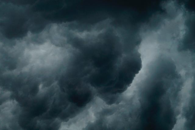
A deep low-pressure system will move across the state tonight and tomorrow morning bringing vigorous northerly flow ahead of it.
Senior Meteorologist at the Bureau of Meteorology Miriam Bradbury said on Thursday morning that Melbourne may see storms later on Thursday afternoon and evening.
“At this stage, they’re not expected to become severe around the metro area,” she said.
“Any storms may bring gusty winds and showers, but severe thunderstorms may bring damaging wind gusts and large hail when they move through,”
“These phenomena may lead to downed trees or branches, power outages, dangerous driving conditions where water or debris falls over the roads, localised flash flooding and some property damage due to winds or hail.”
Strong winds averaging 50 to 60 km/h with damaging wind gusts of around 90 km/h are expected overnight tonight and early Friday over the Grampians and central ranges.
The damaging wind gust risks are expected to ease during Friday morning.
Locations which may be affected include Yarra Glen and Mt Baw Baw.
Ausnet are preparing for outages in the Yarra Ranges and elsewhere from late tonight to early Saturday and have some tips to help people be power prepared:
Life support customers, please be ready to activate your emergency plan. Call our priority line anytime on 1800 818 832.
Have battery operated torches and radios in a place easy to access – keep spare batteries handy too
Charge your battery packs so they’re ready to power your mobile phones
Keep some cash on hand in case electronic payment systems go down during an outage
Make sure you can open your garage or fence manually so you can leave your home if the power goes out
If you have an electric water pump, stock up on bottled water
Fill an esky with ice in to keep your food and drinks cool
If your power goes out, check Outage Tracker for latest restoration times: outagetracker.com.au
The State Emergency Service advises that people should:
If driving conditions are dangerous, safely pull over away from trees, drains, low-lying areas and floodwater. Avoid travel if possible.
Stay safe by avoiding dangerous hazards, such as floodwater, mud, debris, damaged roads and fallen trees.
Be aware – heat, fire or recent storms may make trees unstable and more likely to fall when it’s windy or wet.
Check that loose items, such as outdoor settings, umbrellas and trampolines are safely secured. Move vehicles under cover or away from trees.
Stay indoors and away from windows.
If outdoors, move to a safe place indoors. Stay away from trees, drains, gutters, creeks and waterways.
Stay away from fallen powerlines – always assume they are live.
Be aware that in fire affected areas, rainfall run-off into waterways may contain debris such as ash, soil, trees and rocks. Heavy rainfall may also increase the potential for landslides and debris across roads.
Stay informed: Monitor weather warnings, forecasts and river levels at the Bureau of Meteorology website, and warnings through VicEmergency website/app/hotline.
Sheep graziers are also warned that cold temperatures, rain and showers and gusty winds in the region are expected during Friday and there is a risk of losses of lambs and sheep exposed to these conditions.