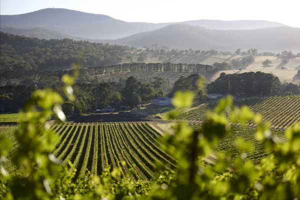
There are 2533 hectares of vineyards in the Yarra Valley, a new survey has revealed.
The first National Vineyard Scan, funded by Wine Australia, found 146,128 hectares under vine across the country.
Consilium Technology used artificial intelligence and satellite imagery to provide vineyard data on five million hectares – replacing the old Australian Bureau of Statistics paper-based sector survey, last published in 2015.
There are 463,718 kilometres of vine rows – enough to wrap around the Earth 11 times – including 9201 in the Yarra Valley.
“This scan provides the sector with a very good baseline for follow-up surveys that will be carried out over the next two years,” Wine Australia CEO Andreas Clark said.
The vineyard locations have been mapped, providing information that could be used for emergency biosecurity responses.
Consilium Technology used Geospatial Artificial Intelligence for Agriculture (GAIA) to scan high-resolution satellite images of Australia’s wine regions to identify exactly where and how many vine rows were planted.
GAIA will evolve over time and could ultimately be able to distinguish varieties in future.
In the short term, an interactive GAIA app will be launched at the Australia Wine Industry Technical Conference at the end of July to allow grape growers and winemakers to identify and annotate their own blocks.