The Bureau of Meteorology is warning local residents of damaging wind gusts in the region in the morning of Saturday 29 June.
An approaching cold front is forecast to produce a vigorous northwesterly flow ahead of it which will move across the state from early Saturday morning, clearing from the west throughout the day.
Strong winds averaging 50 to 60 km/h with damaging wind gusts of around 110 km/h are expected for elevations above 1200 metres and on the southern slopes of the ranges. These conditions are expected to ease by the evening.
Sheep graziers are also warned that cold temperatures, rain and showers and southwesterly winds are expected during Tuesday and Wednesday and there is a risk of losses of lambs and sheep exposed to these conditions.
The State Emergency Service advises that people should:
If driving conditions are dangerous, safely pull over away from trees, drains, low-lying areas and floodwater. Avoid travel if possible.
Stay safe by avoiding dangerous hazards, such as floodwater, mud, debris, damaged roads and fallen trees.
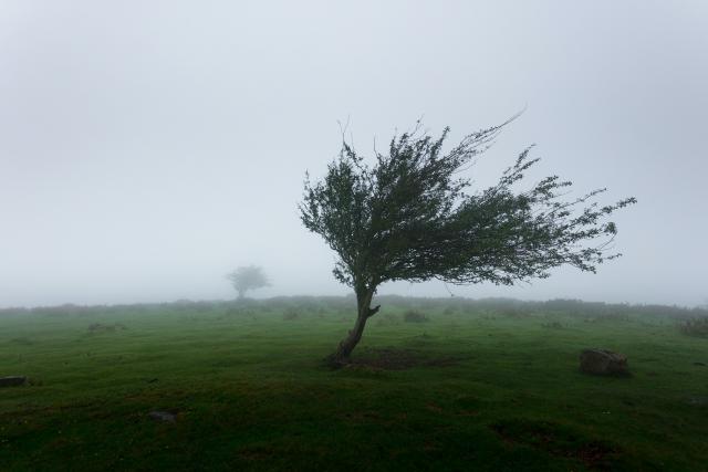
Be aware – heat, fire or recent storms may make trees unstable and more likely to fall when it’s windy or wet.
Check that loose items, such as outdoor settings, umbrellas and trampolines are safely secured. Move vehicles under cover or away from trees.
Stay indoors and away from windows.
If outdoors, move to a safe place indoors. Stay away from trees, drains, gutters, creeks and waterways.
Stay away from fallen powerlines – always assume they are live.
Be aware that in fire affected areas, rainfall run-off into waterways may contain debris such as ash, soil, trees and rocks. Heavy rainfall may also increase the potential for landslides and debris across roads.
Stay informed: Monitor weather warnings, forecasts and river levels at the Bureau of Meteorology website, and warnings through VicEmergency website/app/hotline.