The Yarra Ranges hosts some of Australia’s most at-risk suburbs when it comes to the financial loss from bushfires, new research shows.
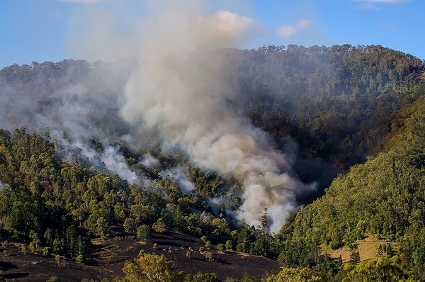
According to consultancy Risk Frontiers, Warburton and Belgrave make up two of Australia’s top 10 bushfire-prone postcodes in terms of average annual losses.
Meanwhile, the entire top 10 list comprised of Victorian suburbs.
Andrew Gissing from Risk Frontiers said the results reflect the nature of bushfire activity within the state.
“It’s not necessarily a surprise because the whole of Victoria is pretty well fire-prone,” he said.
“It’s a mixture of the probability of having damaging fires but also the exposure.
“A lot of these properties are built right on the bushland which makes them high risk.”
Mr Gissing added that this research provides the opportunity for residents within these regions to understand the risk and prepare accordingly.
“Acknowledge that there’s a risk in their area and always be prepared for that,” he said.
“There’s still a few weeks before summer kicks off…now is the time to prepare.”
See the full list of postcodes below:
(3381) Halls Gap, Grampians and surrounds
(3723) Mount Buller, Jamieson
(3238) Lavers Hill, Johanna, Glenaire, Hordern Vale
(3630) Shepparton, Caniambo, Shepparton – Mooroopna
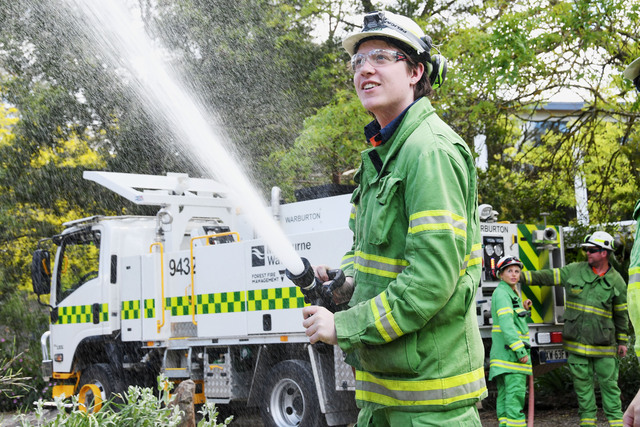
(3799) Warburton, Millgrove, Wesburn and surrounds
(3232) Lorne
(3160) Belgrave, Tecoma and surrounds.
(3234) Wye River, Kennett River
(3741) Bright, Harrietville, Hotham Heights and surrounds
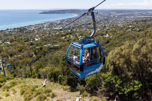
(3936) Arthurs Seat, Dromana, Safety Beach.

